Welcome to
Likely, BC
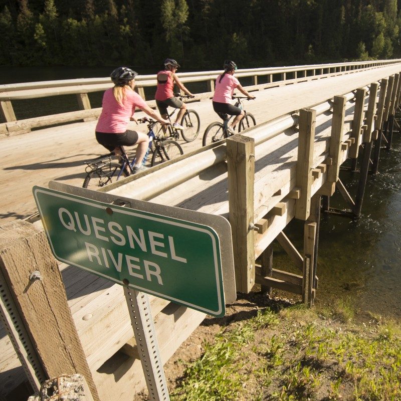
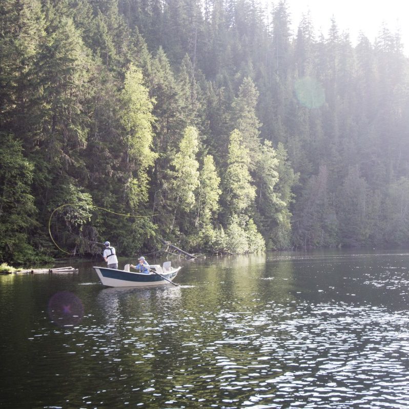
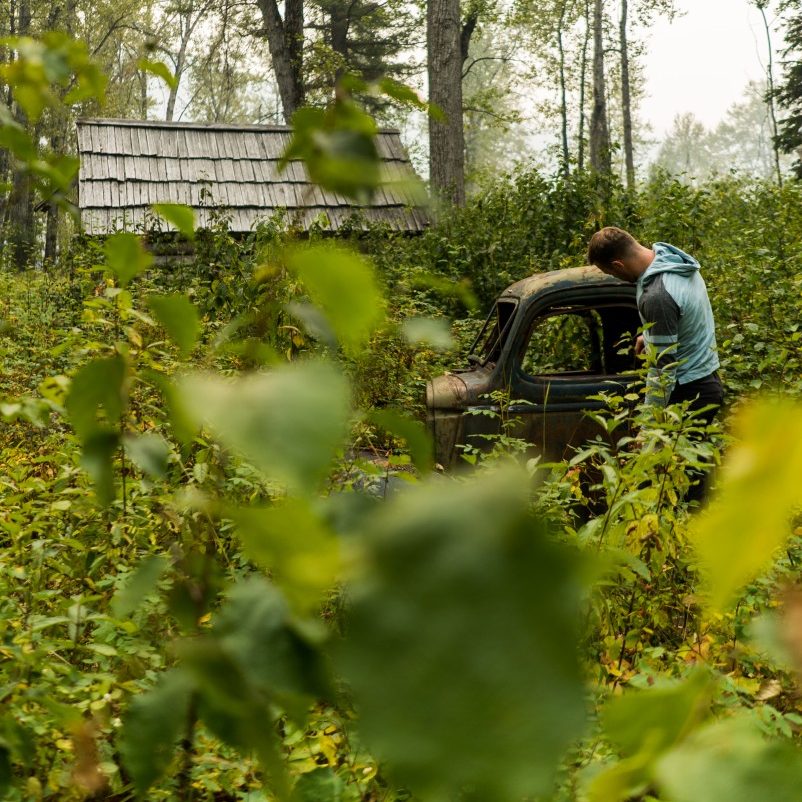
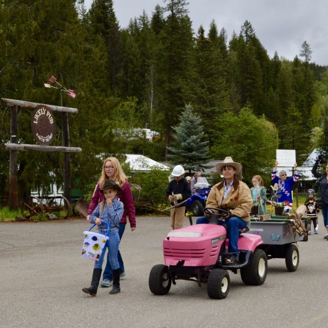
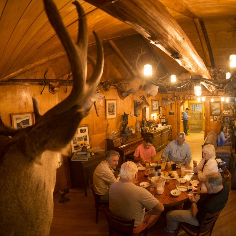
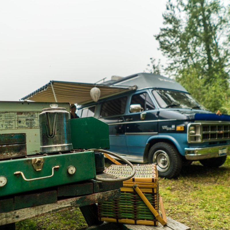
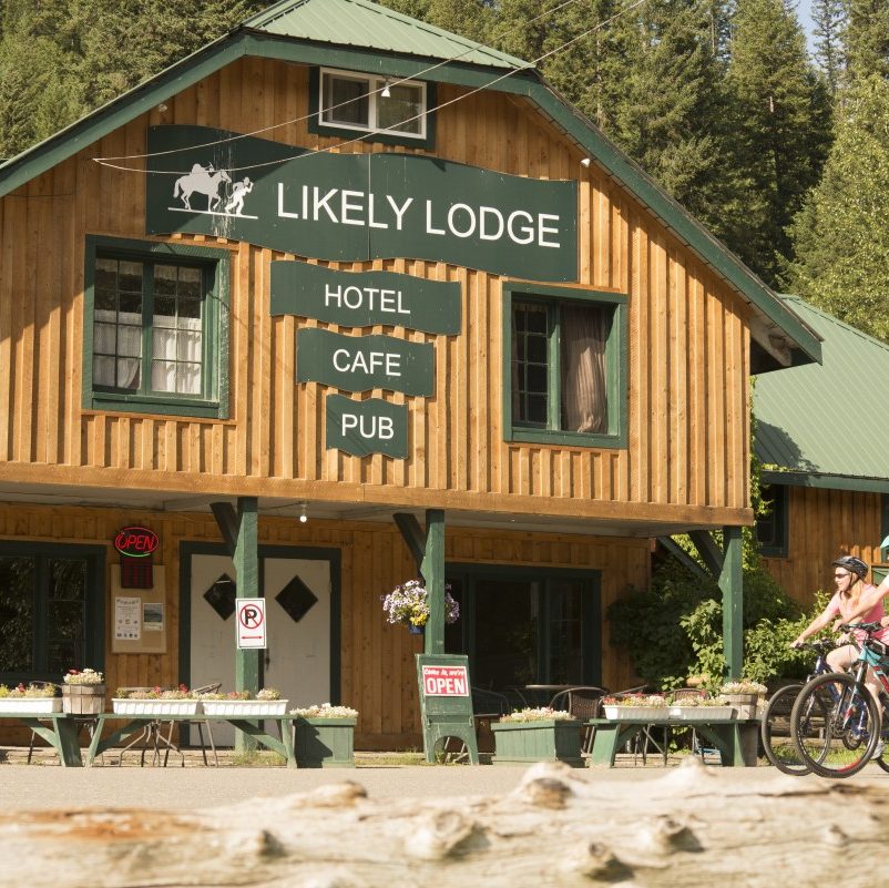
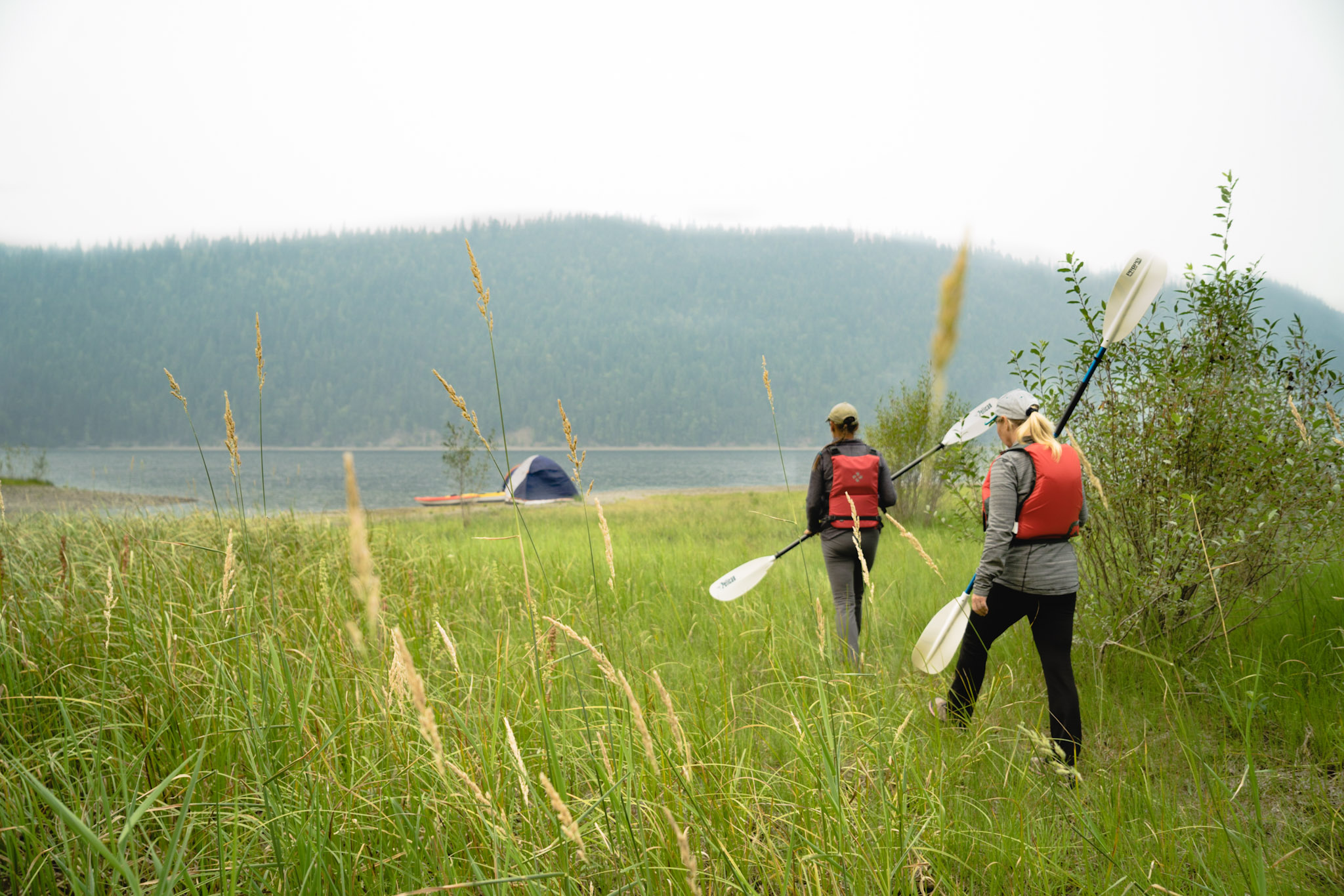
The friendly community of Likely has something to offer everyone - camping, fishing, crystal clear lakes, local historical attractions…..
Likely is situated at the mouth of 90 km long Quesnel Lake. The lake claims to being the deepest fjord lake in the world and the area surrounding the lake is a part of the only inland temperate rainforest in the world giving it a unique climate.